New Features and Content Designed to Enhance Cruising and Fishing For Coastal, Offshore and Inland Waterways.
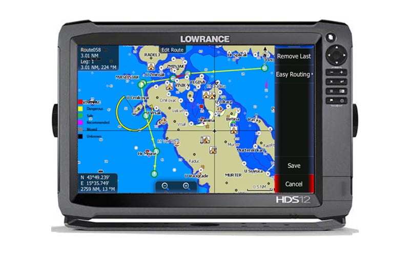
Global electronic chart provider Jeppesen has announced the release of C-MAP MAX-N+ 2015 cartography, delivering an improved navigation experience for cruising boats and enhanced fishing content for users of Lowrance Gen2, Gen2 Touch, and Gen3 Multi-Functional Displays (MFD). This cartography release has been timed to coordinate with the recent release of upgraded software from Lowrance, available at no cost to owners of these popular MFDs.
The release of C-MAP MAX-N+ 2015 cartography is a major update that includes the majority of the C-MAP 4D content and many of its features and functions, combining accurate, up-to-date global chart data with specific features and content to enhance navigation and fishing experiences for boaters across the European region. This incorporates Jeppesen’s vast library of High-Resolution Bathymetric (HRB) bottom contour data, now included with Local and Wide charts. These detailed contour charts help fishermen effectively target underwater pinnacles, ledges, depressions and other “structures” widely known to concentrate baitfish and predatory gamefish.
C-MAP MAX-N+ 2015 fishing chart coverage includes the famed big-game waters of Portugal, Madeira and the Azores, where anglers pursue a wide range of species including blue and white marlin, tuna and sharks. Boaters using these new, high-detail fishing charts have a powerful electronic tool to increase their chances of fishing success.
Another key MAX-N+ 2015 feature, Dynamic Tides & Currents, helps anglers time their fishing trips to take advantage of the best tidal currents over shoals, rips and points. Jeppesen’s worldwide database of Marina Info/Port Services and detailed aerial photos of harbour entrances, channels and marinas provide enhanced situational awareness and important information for fishermen and boaters.
Fishermen, cruisers and sailors alike will appreciate other unique features found in MAX-N+ 2015, including Jeppesen’s worldwide library of satellite imagery. These high-resolution images enhance situational awareness and improve safety when boating along the coast or entering an unfamiliar inlet. For boaters who prefer the traditional look of paper nautical charts, MAX-N+ 2015’s Dynamic Raster Charts provide this, along with the ability to “pull up” information on important chart objects. Those who prefer MAX-N+ 2015 vector chart presentation can utilise the shaded relief feature to highlight specific depth contours whether cruising or fishing.
MAX-N+ 2015 charts also provide boaters across Europe with superior coverage of inland lakes and rivers, providing up-to-date, accurate chart detail for the region’s most popular boating destinations and inland waterways. This includes a variety of information important to inland navigators, such as details on bridges, locks, marinas and facilities that can help make every voyage easier and more enjoyable. The ability to select from more than 19 chart text languages and the USA Standard NOAA or International chart presentations also makes C-MAP MAX-N+ 2015 a powerful solution for navigators across the EMEA region.
Boaters who want these and other new features found in MAX-N+ 2015 cartography must first take advantage of free software upgrades for their compatible Lowrance systems. These are available worldwide by visiting www.lowrance.com.
C-MAP MAX-N+ 2015 charts can be purchased through Jeppesen dealers worldwide on pre-programmed micro SD cards, or online through the Navico GoFree website at www.gofreemarine.com. Lowrance HDS Gen3 and Gen2 Touch owners can also take advantage of accessing the GoFree store via the MFD when connected to the internet. C-MAP MAX-N+ 2015 charts can be purchased and downloaded directly to the plotter.

